Aerial and 360° photography
Some details can only be seen with perspective. Aerial and panoramic captures to show the scale, surroundings and potential of a space in a clear and attractive way.
Show the land from another angle.
Images are a tool to understand, document and share the reality of a property. Each capture is planned according to the intended result and the applicable flight regulations.
Request informationAerial drone photography
Images from the air to show properties, buildings, plots and their surroundings from a different perspective.
360° panoramic photos
Immersive captures that help visualise spaces and communicate them in an attractive, understandable way.
Visual documentation of properties
Useful images to present land, visually track spaces and accompany project documentation.
Content for presentations
Visual material to explain the value of a property or make communication about a rural space clearer.
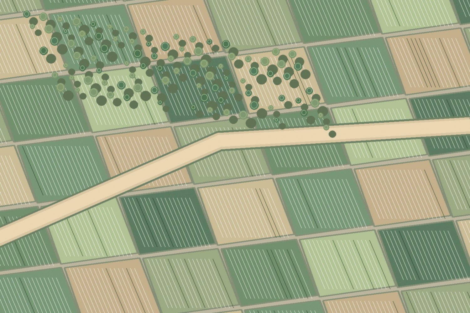
Illustrative image, not linked to any Agroduxy project.
A clear process, from start to finish.
First consultation
We discuss the project and gather the available information.
Technical work
We define and carry out the necessary tasks.
Delivery
We share the results and answer any questions.
Every project is different. Tell us about yours.
Tell us what property, project or need you have in hand. We’ll help you assess the next steps.
Let’s talk about your project