Land surveying for rural properties
Topographic surveys, boundary delimitation and
photography in the Girona and Barcelona area
The reality of the land, well
represented
We offer land surveying services for rural properties in Girona and Barcelona. Since Law 13/2015, many Land Registry procedures require a georeferenced graphic representation, and Agroduxy acts as the technical bridge between the land, the Cadastre and the Registry. We also take aerial drone photos and 360 images to show the property from a complete perspective.
Cadastre and Land Registry
Cadastre–Registry coordination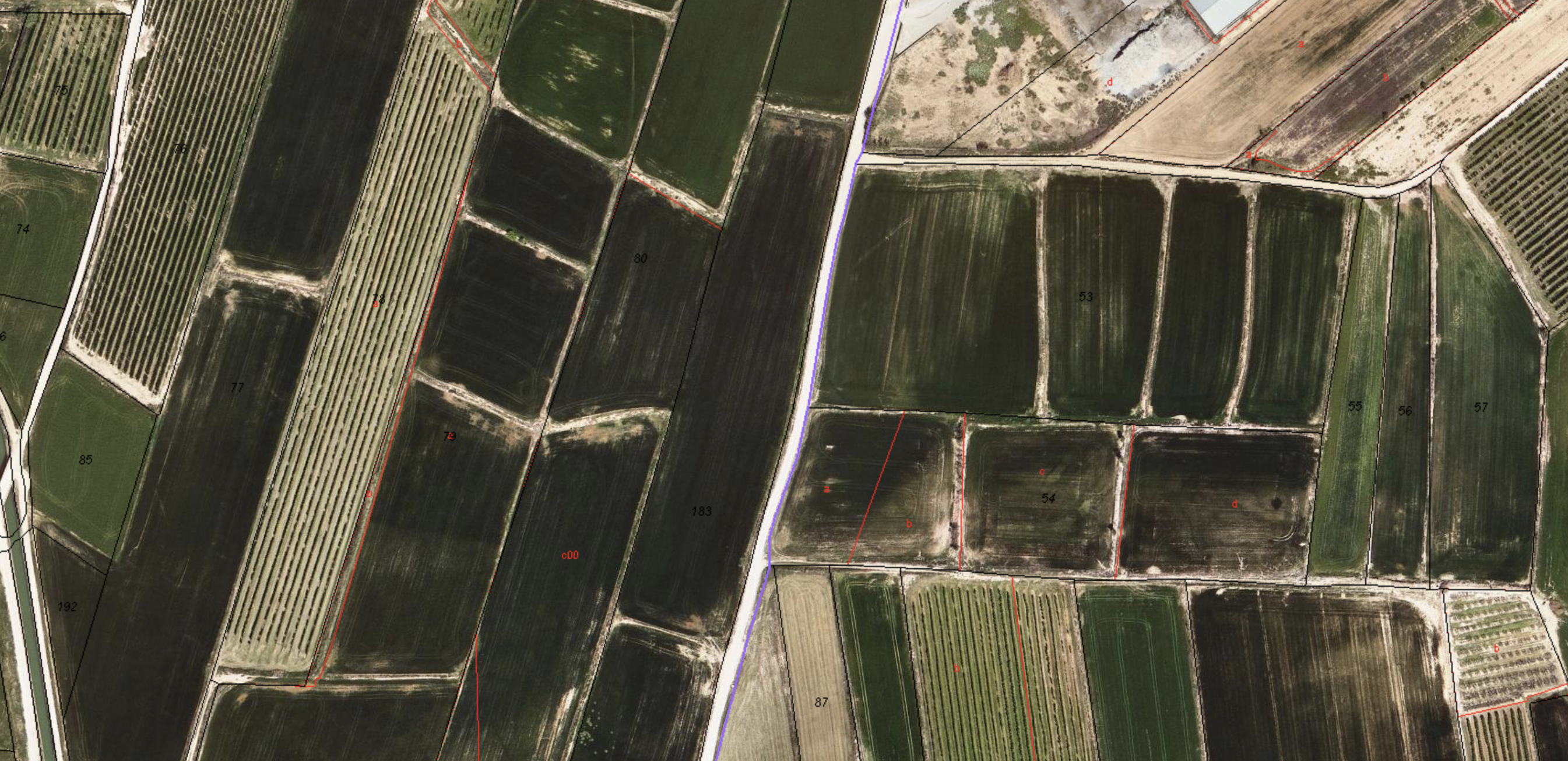
The property doesn’t match between the land, the Cadastre and the Registry, or you’re asked for a georeferenced file.
We compare reality with the Cadastre and the Registry and prepare, where applicable, the alternative graphic representation (RGA), the alternative graphic validation report (IVGA), the GML file and the technical documentation for excess-area (mayor cabida) proceedings.
A georeferenced plan and the files needed to support sales, inheritances, registrations, coordinations or excess-area proceedings, with greater clarity about boundaries and area.
Areas and cadastral corrections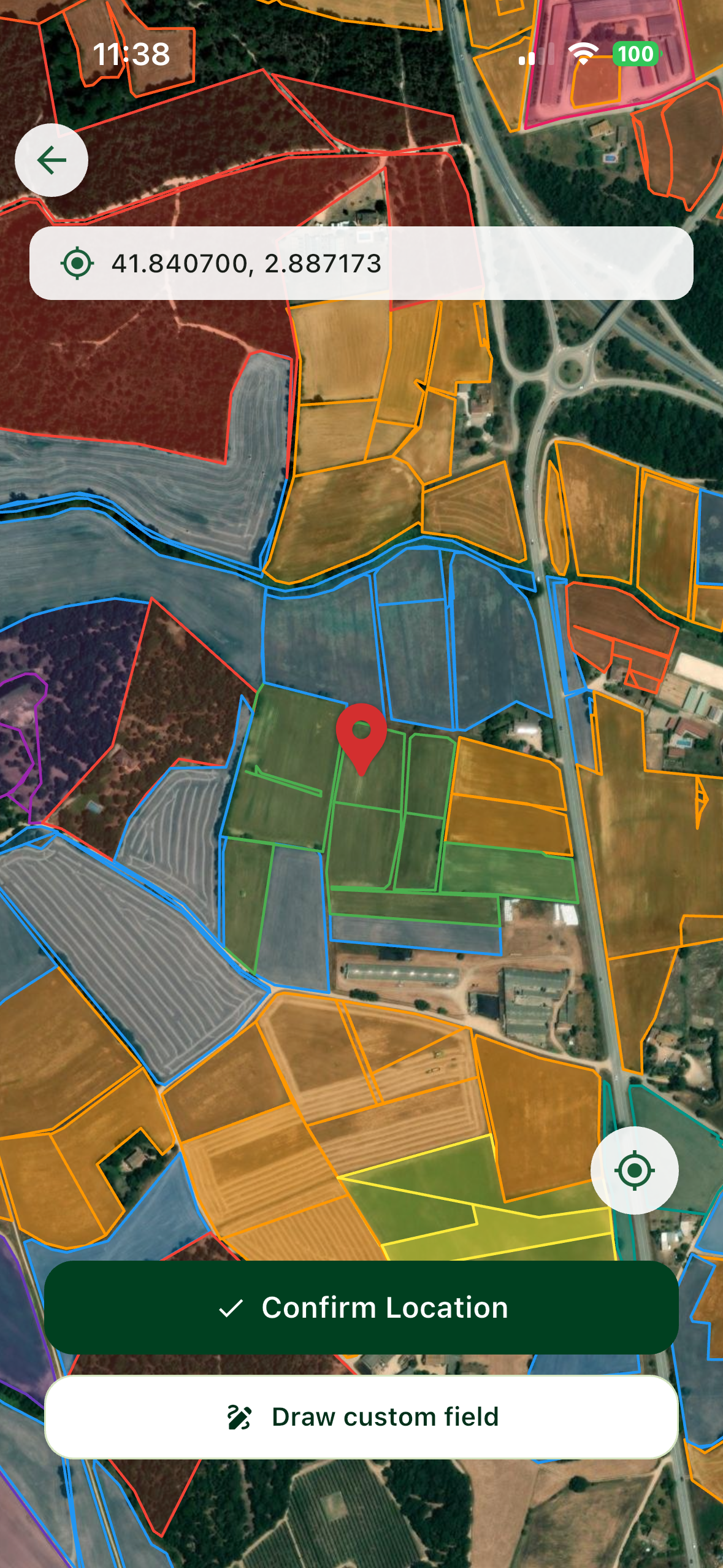
The measurements don’t match, the boundaries are drawn incorrectly, or there are buildings that aren’t recorded.
We verify the discrepancy and measure the necessary elements to prepare the graphic and descriptive justification.
Plans, coordinates and areas to explain excess or shortfall in area and support the cadastral correction.
Segregations, divisions and groupings
You want to separate, split or combine properties.
We study your proposal and carry out the necessary measurements to prepare the corresponding documentation.
A defined proposal before starting the procedures, with plans of the initial and resulting property, areas, coordinates and georeferenced files.
Georeferenced topographic surveys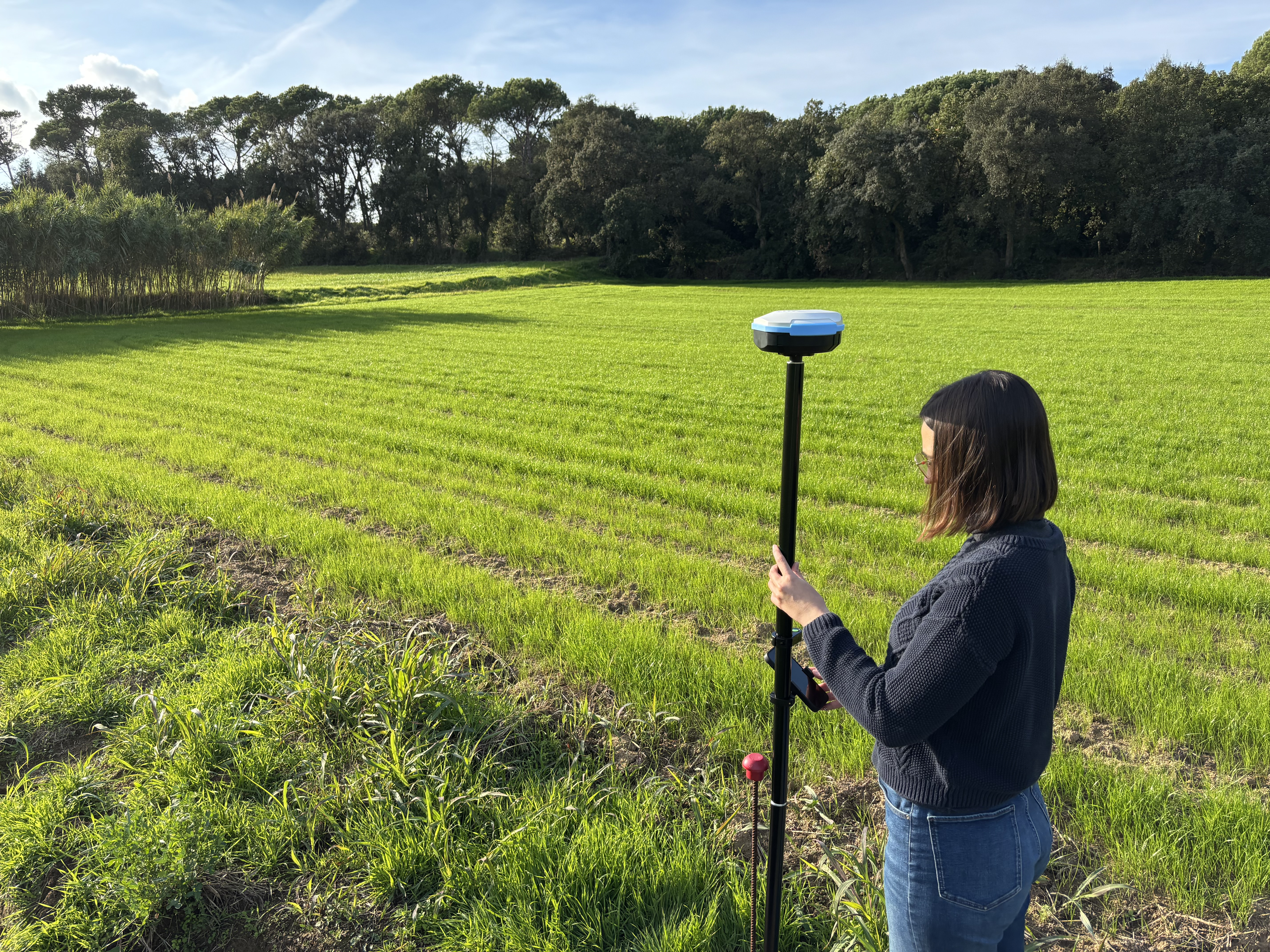
You need to know precisely where the boundaries are and what area the property has.
We measure the points, boundaries and relevant features, such as landmarks or boundary markers, and locate them in an official coordinate system.
A reliable basis for cadastral, registry or project work, in the form of a georeferenced plan and digital files.
Aerial and 360 photography
Aerial drone photography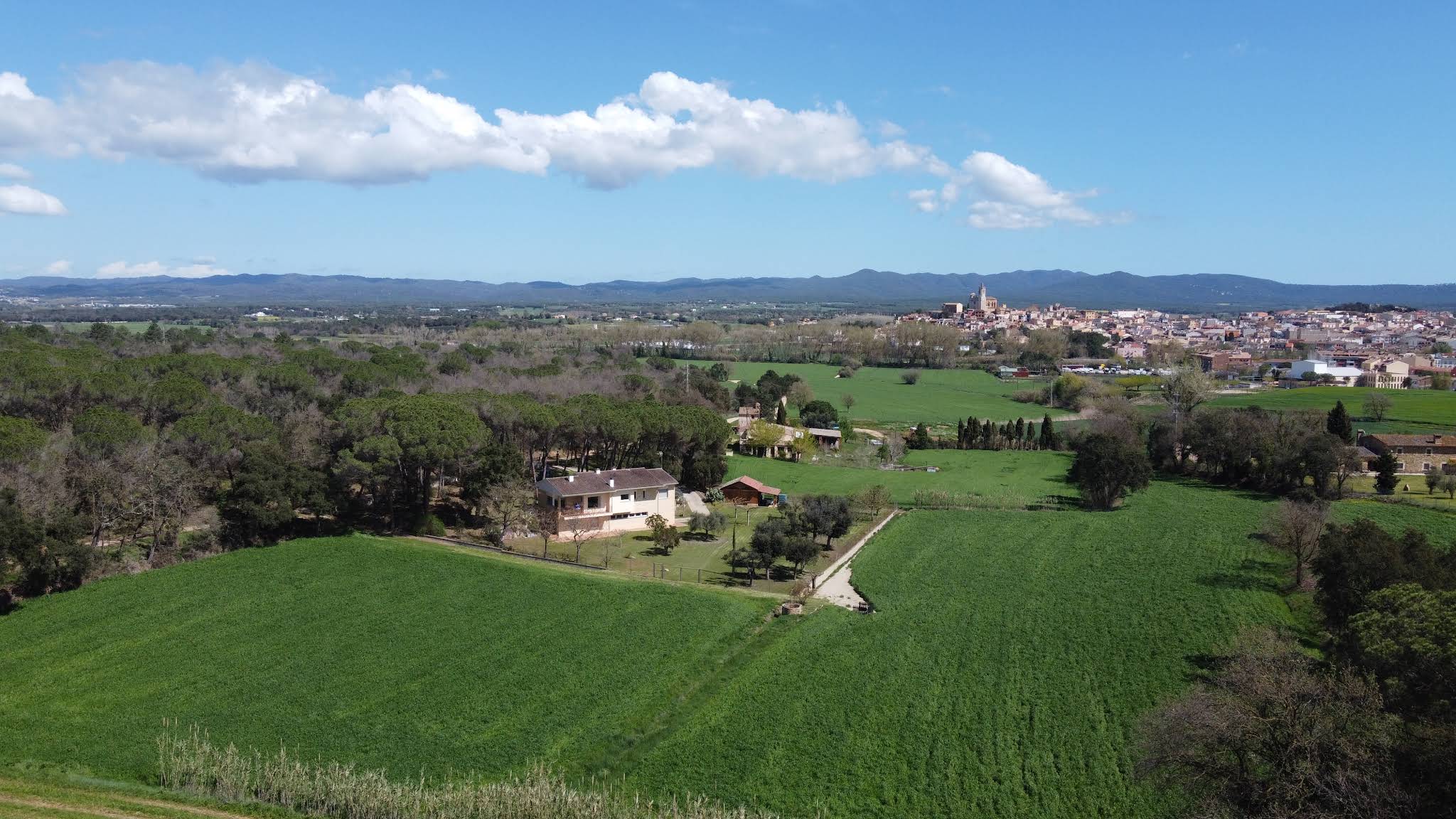
Aerial images to document the state of a property, view its surroundings or present a property from a different perspective. Captures are subject to the applicable flight regulations.
360 photography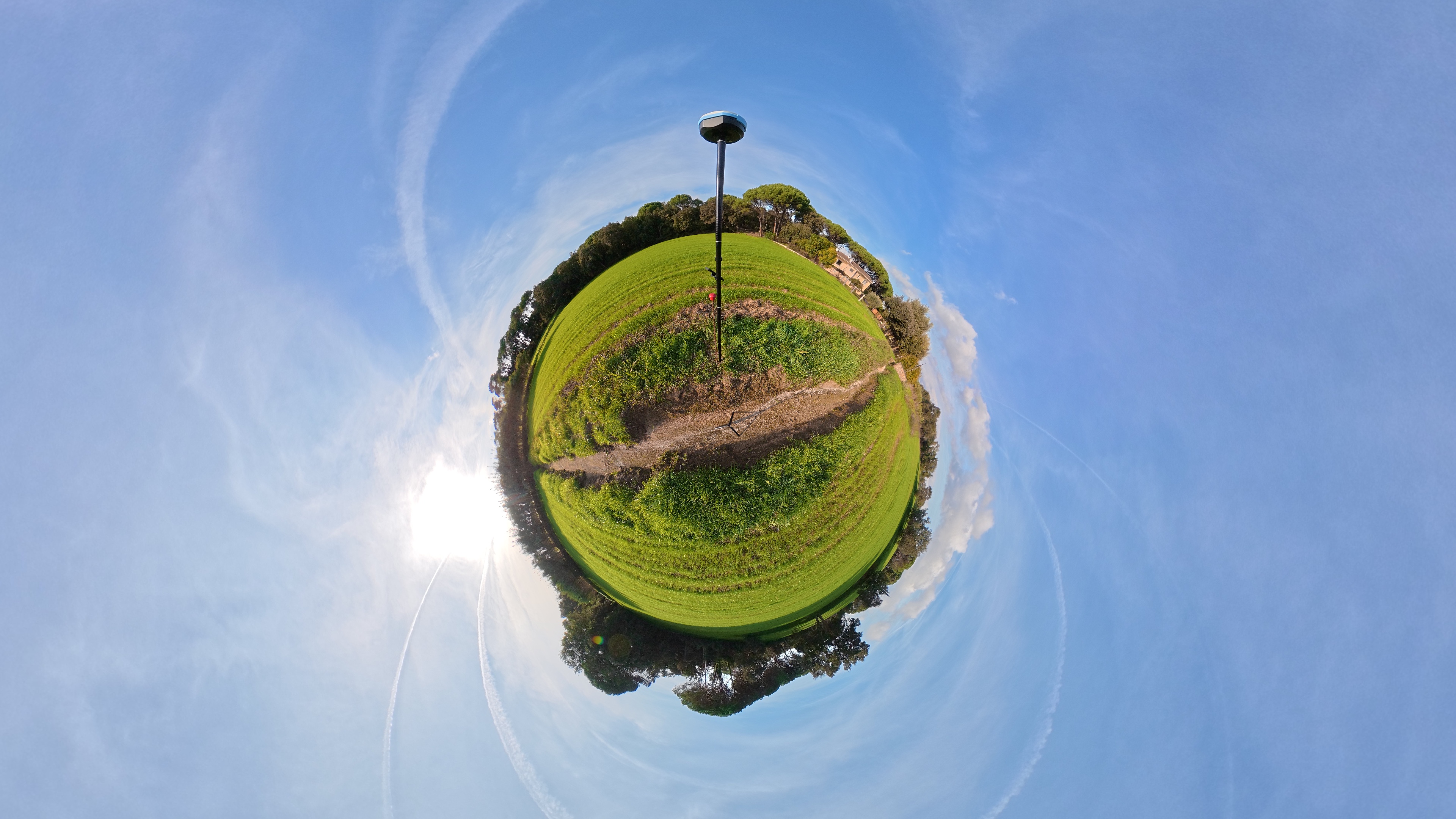
Immersive photos that let you explore a space and understand its layout, access points and surroundings in a more complete way.
Explore a 360° panorama
Drag with your mouse to look around and zoom in for the details. A real panorama captured with our own equipment.
Frequently asked questions
What is a GML file?
GML (Geography Markup Language) is a digital file that describes the georeferenced geometry of a property. Notaries and registries may request it to incorporate the property’s boundaries and coordinates into their systems.
What is an alternative graphic representation (RGA) and the Graphic Validation Report (IVG)?
The Alternative Graphic Representation (RGA) is the georeferenced plan of the property used when the cadastral mapping does not correctly reflect reality. From the RGA you can obtain the Graphic Validation Report (IVG), which checks the proposal’s compatibility with the cadastral mapping and detects possible overlaps with neighbouring plots. A positive result provides technical support for the procedure but does not guarantee its acceptance.
What information should I have ready for Cadastre and Registry procedures?
Usually the cadastral reference, the deed or nota simple and any available plan. You can look up the cadastral reference here. After an initial review we’ll tell you whether any additional information is needed.
What is the difference between segregating and dividing a property?
In a segregation, a part of the property is separated to create a new, independent one, while the original property continues to exist with the remaining area. For example, if 2 ha are segregated from a 10 ha property, an 8 ha property remains and a new 2 ha one is created. In a division, the whole property is split into two or more new properties and the original ceases to exist.
Shall we talk about your property?
Tell us your case or problem and we’ll tell you how we can help.